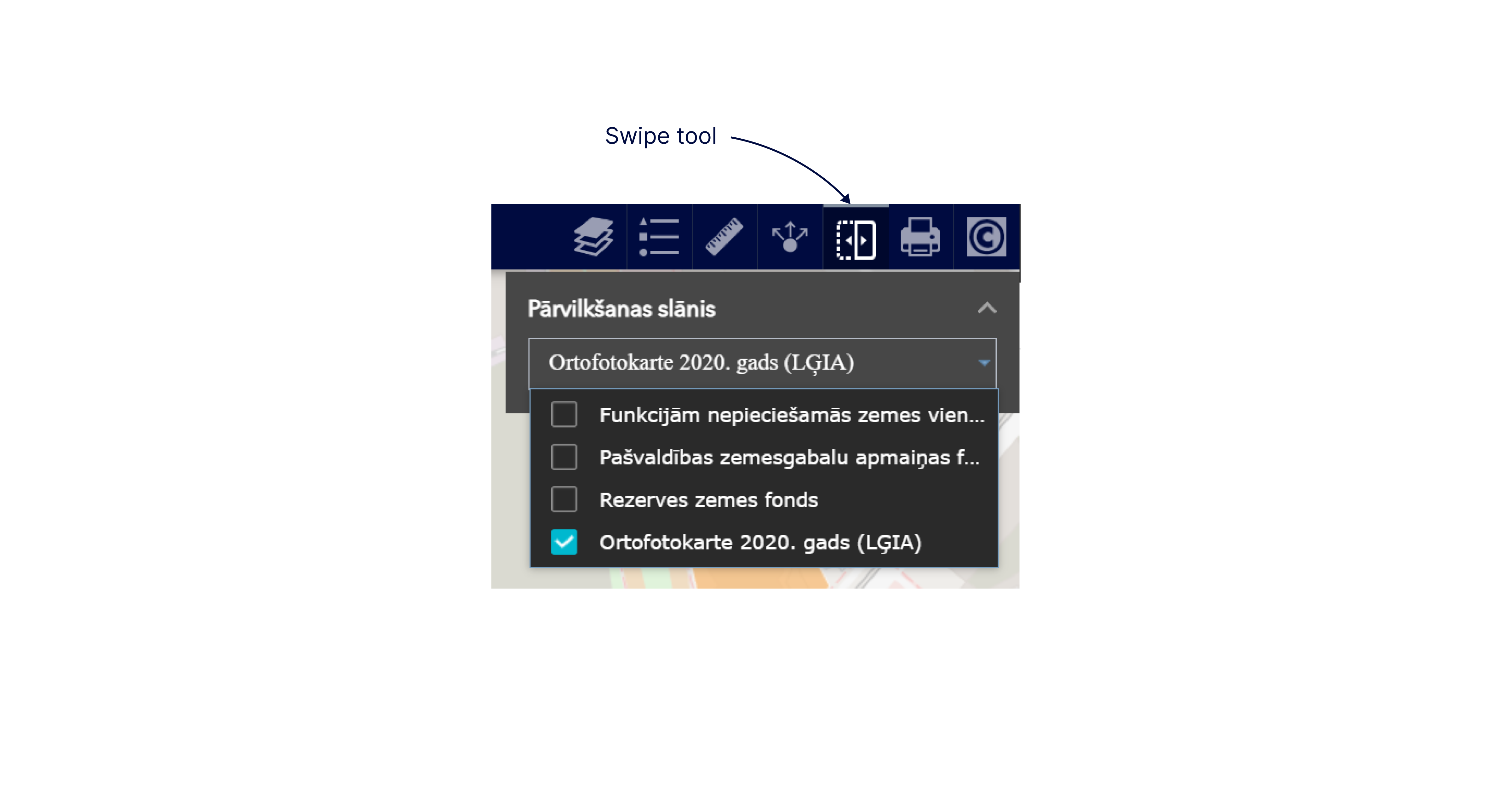
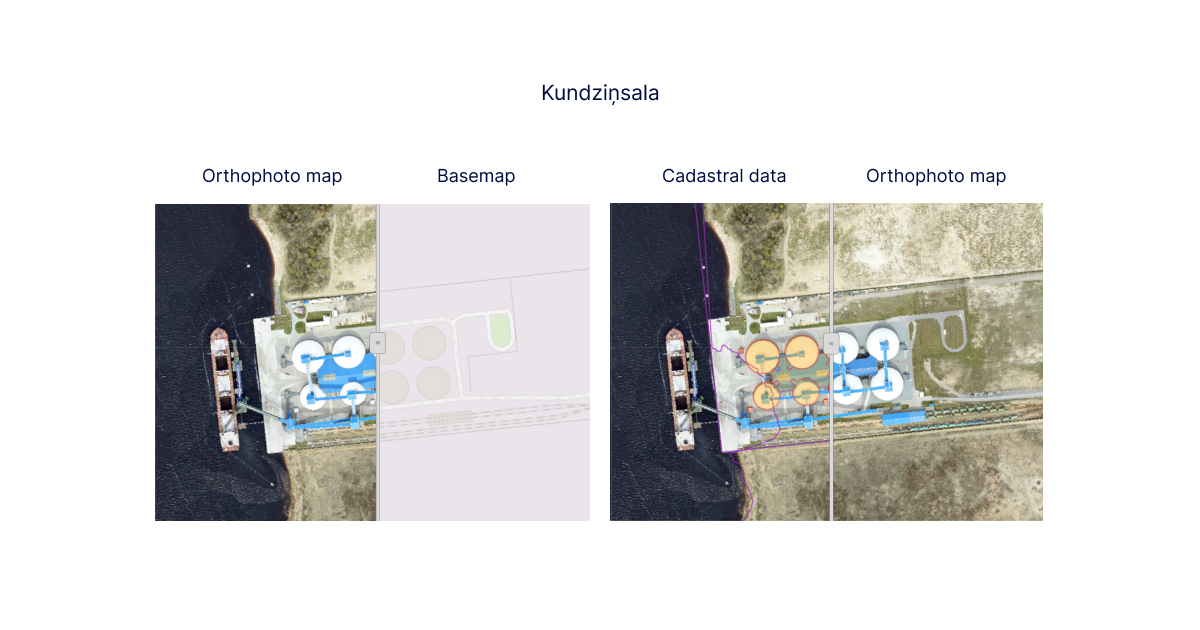
The Swipe tool, being the fifth default tool, can be found on the upper right side of each thematic map in the row of specific tools and provides an opportunity to compare (swipe) different data layers for a particular map view.

Most often, the swipe tool is used to compare thematic data for different time periods to identify the changes that have occurred, for example, orthophoto maps of different years, modelling data of various situations, research results, etc.
To swipe, you must first enable/check the data layers you want to compare in the list of data layers..
Please note! You can compare only the data layers in the specific thematic map.
Clicking the tool button will bring up a menu in the upper right corner of the map view where you can select/enable the data layers to be dragged from the enabled data layers in the data layer list. If several data layers remain enabled in the list of data layers and they are not selected for comparison, then they will also be displayed in the map view when comparing the selected data layers. You will see a swipe tool in the middle of the map view.
Please note! To avoid obscuring the map view, the data menu panel of the comparison tool can be minimised by collapsing it with the arrow in its upper right corner. When needed, the panel can be re-expanded with the same arrow.
When the swipeable data layers have been selected, they appear on the left side of the map view, and the non-selected data layer appears on the right side and they are moved lower in the list of data layers. By dragging the swiping tool in the map view to the right or left, you can compare the data.
Please note! If several data layers are enabled that cover the entire area and are not transparent, such as raster data (orthophoto maps) or dense polygon data layers (territorial planning data), the comparison may not work correctly. The order in which data layers are displayed must be followed.

