


Thematic maps
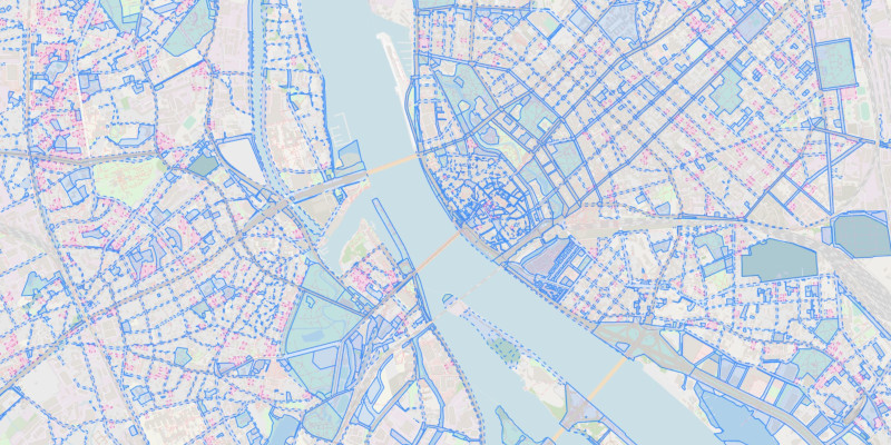
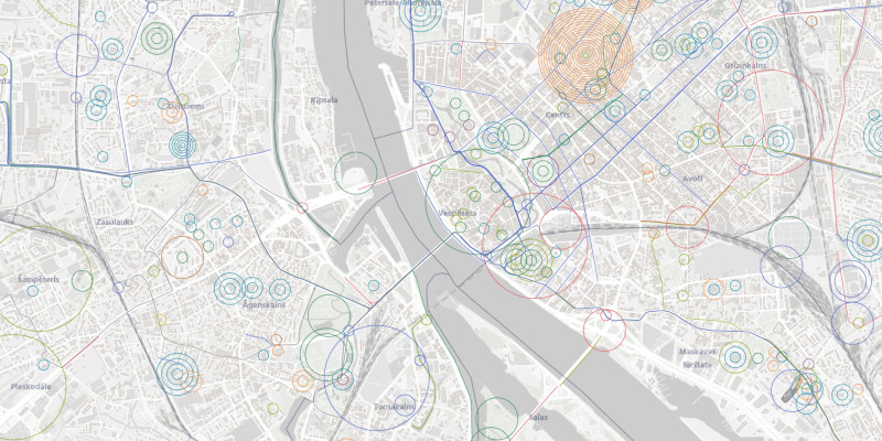

Explore
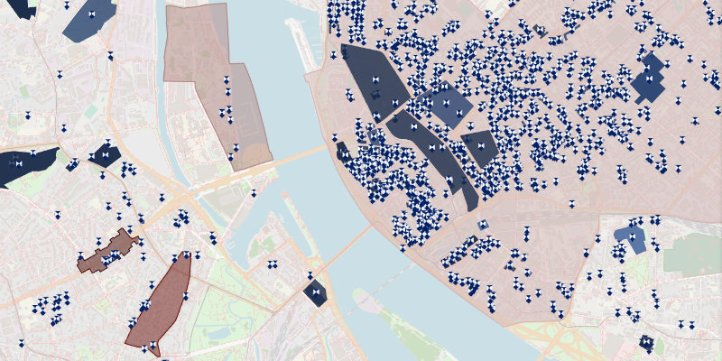
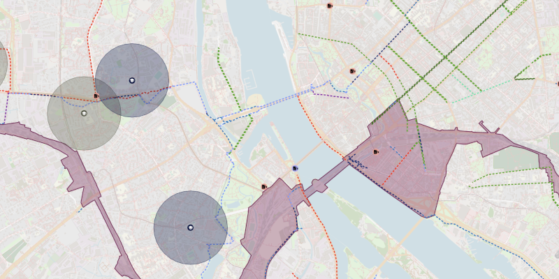
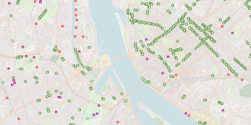
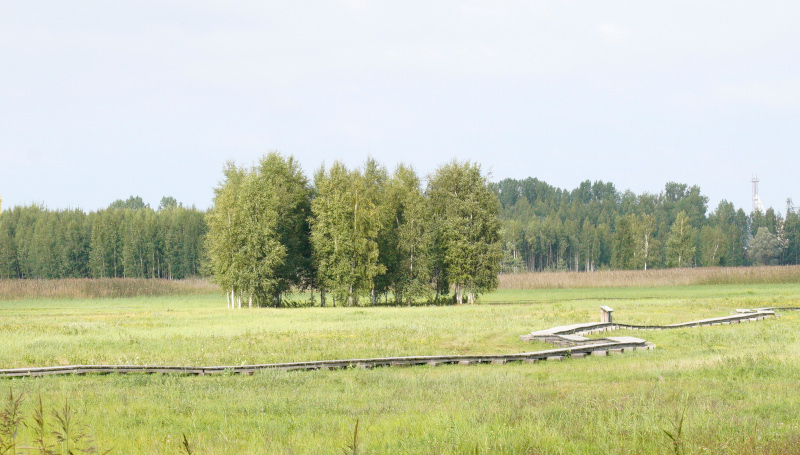
Earth observation data – SATSDIFACTION project
Within the framework of the project SATSDIFACTION, a map has been created that shows the results obtained so far in the project, reflecting the analysis of green infrastructure and urban heat islands using data from the Sentinel-2 and Landsat satellites.
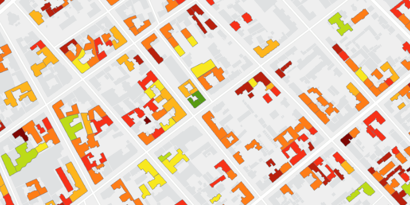
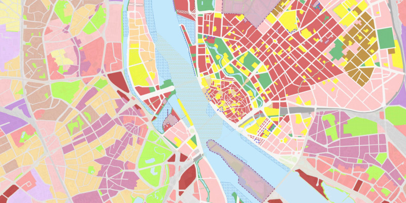
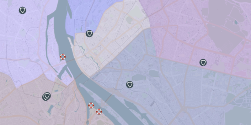
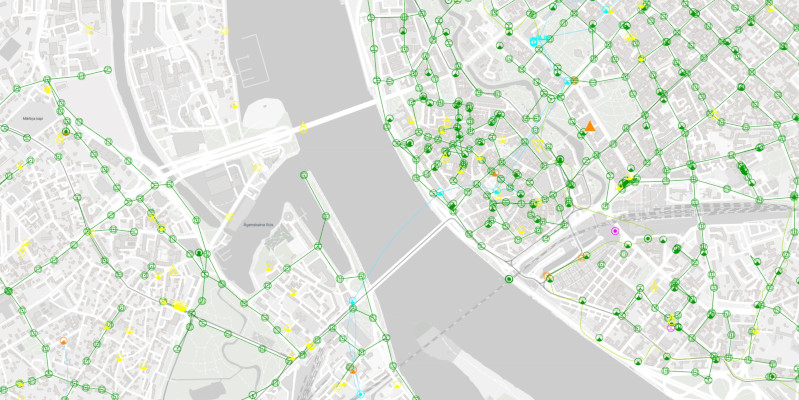
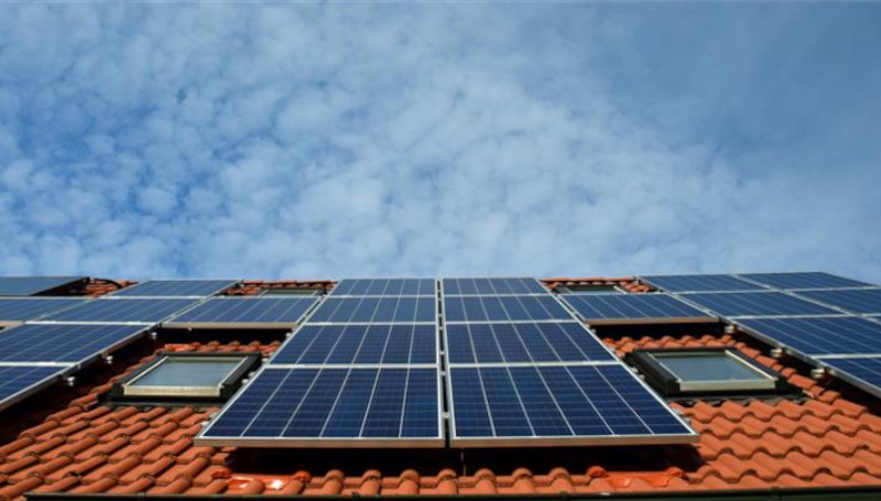
Solar Map
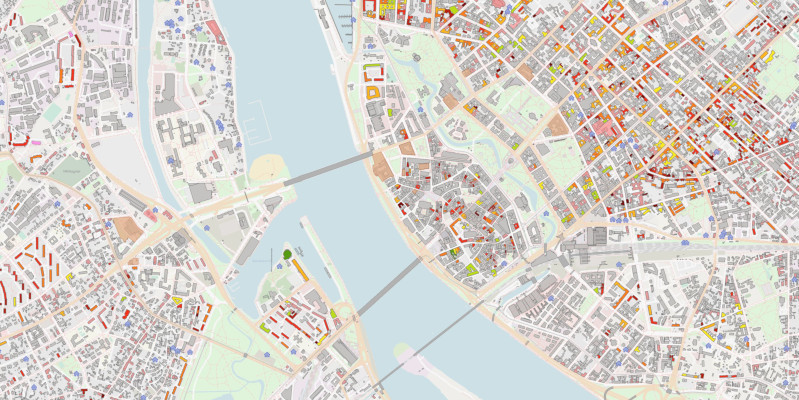
As part of the BUILDSPACE project, an interactive map has been developed to visualize the solar energy potential on rooftops across Riga. The map highlights the most suitable locations for solar panel installation and provides pre-calculated estimates of the number of panels, installation costs, and the expected amount of electricity that could be generated. For municipal buildings, additional data is available: the number and capacity of solar panels are adjusted to match the building’s existing electricity consumption, ensuring that the generated energy is used within the building. The map information is available in English and is intended for a broad audience interested in sustainable development.
Tīmekļa vietnē tiek apstrādātas tikai nepieciešamās sīkdatnes, kas ir būtiskas, un ļauj piekļūt dažādām tīmekļa vietnes daļām. Nepieciešamās sīkdatnes tiek saglabātas Tavā datorā, viedtālrunī, planšetdatorā vai citā ierīcē vietnes apmeklējuma un pārlūkošanas laikā vai noteiktā laika periodā. Šīs sīkdatnes ir nepieciešamas tīmekļa vietnes darbībai, tāpēc tās nevar izslēgt, un tādēļ lietotāja piekrišana šai sīkdatņu kategorijai netiek prasīta.
This content is blocked. Accept cookies within the '%CC%' category to view this content.