News
Investment plan
17.06.2026
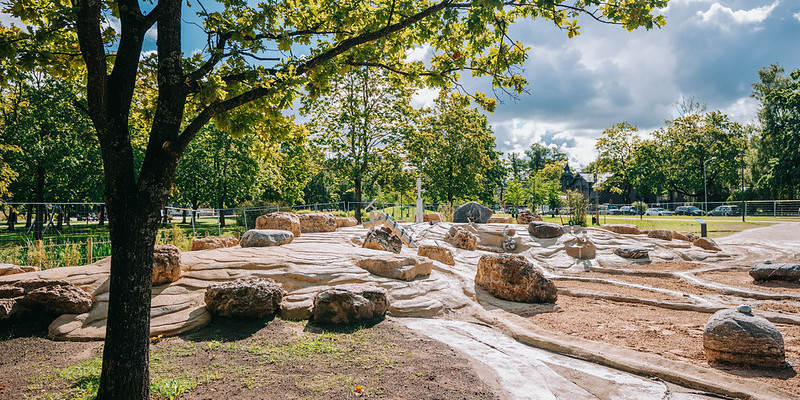
In order to provide everyone with up-to-date information on the infrastructure projects included in the Investment Plan of the Riga Development Programme 2022-2027 (RDP2027) and their implementation status, the thematic map Investment plan has been updated. Information on project timelines, financing, expected results, implementation status and additional infrastructure projects included in the Investment plan 2026-2027 has been updated.
Participatory budget projects submitted in 2025
10.06.2026
In the GEO RĪGA section Highlights, information about the participatory budget projects submitted in 2026 has been published. Citizens’ voting on project ideas that meet the requirements of the competition regulations will take place after they have been evaluated by the committee and submitted to citizens for voting. Voting will begin this year on November 1. The progress of the project idea evaluation can be followed on the competition website www.geolatvija.lv in the section for each project idea.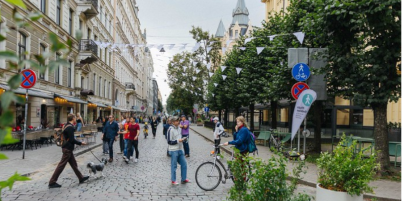
Invite for business owners to express their opinion on the pedestrian street initiative
10.06.2026
A survey has been published in the Engage section, inviting business owners to share their views by 16 June on the proposal to implement a pedestrian street initiative in selected sections of Antonijas Street and Dzirnavu Street from July to September. The aim of the survey is to assess the impact of the initiative and improve its organisation.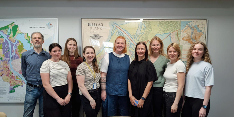
GEO RĪGA team shares experience with Tallinn GIS specialists
09.06.2026
On June 5, the GEO RĪGA team met with the Tallinn GIS team to exchange experience on the development and integration of geographic information systems (GIS) into municipal processes. During the meeting, the GEO RĪGA team presented the development path of Riga GIS - from the first ideas and stages of system creation to a modern and widely used platform. The most important development stages, main achievements, as well as challenges and obstacles overcome during the creation and improvement of the system were discussed. The participants gained insight into the GEO RĪGA infrastructure approach, system management principles and practical solutions that have helped to gradually develop the GIS ecosystem. Issues regarding the organization of user training, system implementation in the organization and long-term development planning were also discussed. During the meeting, several practical examples and solution demonstrations were demonstrated, as well as important aspects that should be paid attention to when creating and maintaining a municipal GIS were discussed. The Tallinn GIS team also shared its experience and perspective, creating a valuable discussion about the past experience of both cities and future development directions. The Tallinn team initiated the meeting, showing interest in the experience of GEO RĪGA and the desire to learn about the principles of creating and developing a successful GIS system. The GEO RĪGA team is pleased and honored that its accumulated experience and invested work can serve as inspiration and practical support for municipalities in other countries as well, developing their own geospatial solutions.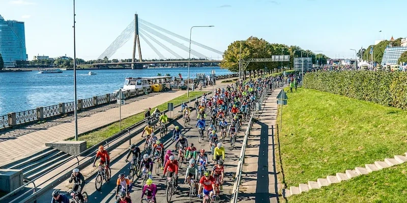
Toyota Riga Cycling Marathon 2026
28.05.2026
In the Highlights section of GEO RĪGA, a map has been published providing information about the routes of the Toyota Riga Cycling Marathon, which will take place on 31 May, as well as traffic restrictions and restrictions on the use of micromobility devices during the event.Tīmekļa vietnē tiek apstrādātas tikai nepieciešamās sīkdatnes, kas ir būtiskas, un ļauj piekļūt dažādām tīmekļa vietnes daļām. Nepieciešamās sīkdatnes tiek saglabātas Tavā datorā, viedtālrunī, planšetdatorā vai citā ierīcē vietnes apmeklējuma un pārlūkošanas laikā vai noteiktā laika periodā. Šīs sīkdatnes ir nepieciešamas tīmekļa vietnes darbībai, tāpēc tās nevar izslēgt, un tādēļ lietotāja piekrišana šai sīkdatņu kategorijai netiek prasīta.
This content is blocked. Accept cookies within the '%CC%' category to view this content.